Tornado Warning Siren Information
Like Us on Facebook for Severe Weather & Winter Weather Updates
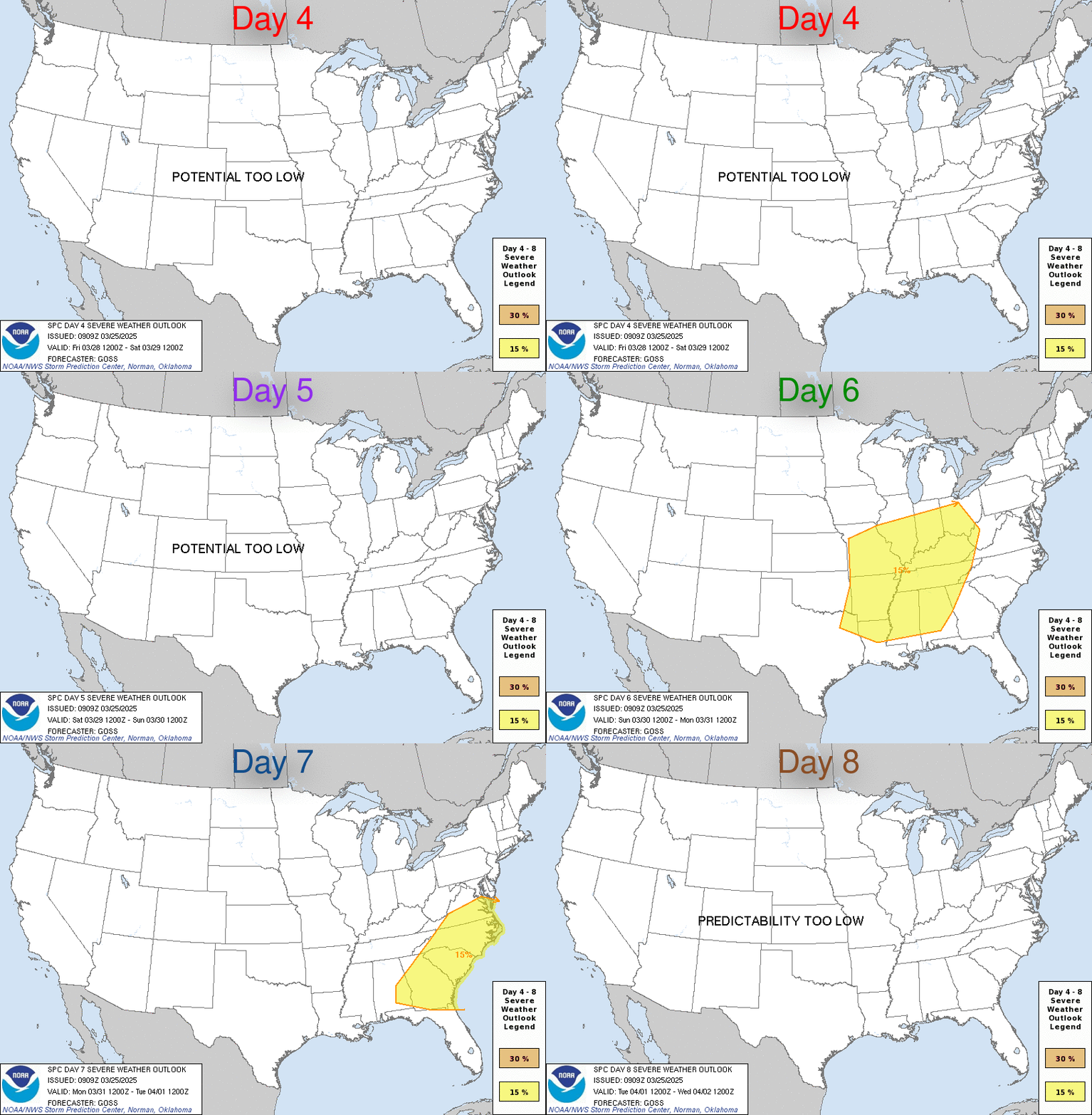
Severe Weather Outlook - Days 4-8
| Days 4 - 8 | Day 4 | Day 5 | Day 6 | Day 7 | Day 8 |
| Mouse over the buttons above to view each individual outlook map. |
| Click here to view the full details (including SPC text and discussion) |
 |
| D4 | Sunday, May 5, 2024 - Monday, May 6, 2024 | D7 | Wednesday, May 8, 2024 - Thursday, May 9, 2024 |
| D5 | Monday, May 6, 2024 - Tuesday, May 7, 2024 | D8 | Thursday, May 9, 2024 - Friday, May 10, 2024 |
| D6 | Tuesday, May 7, 2024 - Wednesday, May 8, 2024 | (All days are valid from 12 UTC - 12 UTC) | |
| Note: A severe weather area depicted in the Day 4-8 period indicates a 30% or higher probability for severe thunderstorms within 25 miles of any point. |
| PREDICTABILITY TOO LOW is used to indicate severe storms may be possible based on some model scenarios. However, the location or occurrence of severe storms are in doubt due to: 1) large differences in the deterministic model solutions, 2) large spread in the ensemble guidance, and/or 3) minimal run-to-run continuity. |
| POTENTIAL TOO LOW means the threat for a regional area of organized severe storms appears highly unlikely during the entire period (e.g. less than a 30% probability for a regional severe storm area across the CONUS through the entire Day 4-8 period). |


